GCED Basic Search Form
Quick Search
Close
Vous êtes ici
Ressources
Mapping our World with Mathematics
Lieu de publication | Année de publication | Référence:
[Sheffield] | [2019] | 8 p.
Région:
Europe et Amérique du Nord

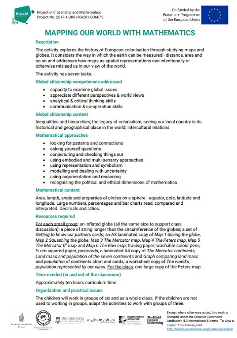
This activity explores the history of European colonisation through studying maps and globes. It considers the way in which the earth can be measured - distance, area and so on and addresses how maps as spatial representations can intentionally or otherwise mislead us in our view of the world. The activity has seven tasks.
URL de la ressource:
Type de ressource:
Programmes d'études, matériel d'enseignement et d'apprentissage et guides
Thème:
Instruction civique / citoyenneté / démocratie
Diversité / alphabétisation culturelle / inclusive
Mondialisation et justice sociale / compréhension internationale
Niveau d'éducation:
Enseignement primaire
